UN
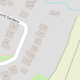
3 Laund Gardens
£ 120,000
Description
We don't have a Description for this property.
- Bedrooms
- 2
- Bathrooms
- 0

Leaflet © OpenStreetMap contributors
The heatmap indicates the level of crime in the area. The color of the heatmap indicates the crime severity and recency.
Metrics Year-on-Year
- Average area value
- 419,000.00 £Increased by 9.74 %
- Average area rental value
- 1,467.00 £/moDecreased by 6.50 %
- Est rental Yield
- 4.20 %Decreased by 14.81 %
- Crime Rate
- 161.00 %Unchanged by 0.00 %
from 381,826.00 £
from 1,569.00 £/mo
from 4.93 %
from 161.00 %
Nearby Schools
| Name | Type | Ofsted | Distance |
|---|---|---|---|
| Galgate Children'S Centre | Children's Centre Linked Site | 0.21 KM | |
| Ellel St John The Evangelist Church Of England Primary School | Voluntary Aided School | Good | 0.23 KM |
| University Of Lancaster | Higher Education Institutions | 2.21 KM | |
| Forton Primary School | Community School | Requires improvement | 4.06 KM |
| Cockerham Parochial Cofe Primary School | Voluntary Aided School | Good | 4.46 KM |
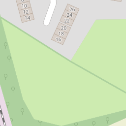
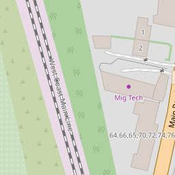
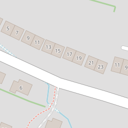
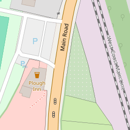
Images
Nearby Streets
| Name | Average Price | Average Sqft | Distance |
|---|---|---|---|
| Ashley Gardens | £ 299,950 | 0 | 0.00 KM |
| Lime Avenue | £ 0 | 0 | 0.00 KM |
| M6 | £ 0 | 0 | 0.00 KM |
Nearby Transport
| Name | NLC | TLC | Distance |
|---|---|---|---|
| Lancaster | 2685 | LAN | 6.81 KM |
Nearby Listings
| Address | Price | Type | Score | Distance |
|---|---|---|---|---|
| Laund Gardens | The largest plot on the development! | £ 460,000 | BUY | 7 / 10 | 0.08 KM |
| Laund Gardens, Galgate, Lancaster | £ 170,000 | BUY | 7 / 10 | 0.10 KM |
| Glasson Park, LA2 | £ 23,995 | BUY | Unknown | 0.21 KM |
| Forster Close, Lancaster, Lancaster | £ 425,000 | BUY | 7 / 10 | 0.22 KM |
| Salford Road, Galgate, Lancashire, LA2 | £ 130,000 | BUY | 7 / 10 | 0.25 KM |
Nearby Properties
| Address | Price | Distance |
|---|---|---|
| 3 Laund Gardens | £ 120,000 | 0.00 KM |
| 5 Laund Gardens | £ 129,995 | 0.03 KM |
| 1 Stoney Lane | £ 175,000 | 0.09 KM |
| 4 Stoney Lane | £ 187,500 | 0.10 KM |
| 2 Stoney Lane | £ 250,000 | 0.10 KM |